Mount Thompson

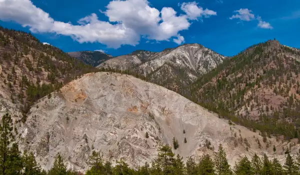
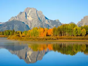
In the emerald waters of Bow Lake in Canada’s Banff National Park beautifully reflects the imposing figure of Mount Thompson. It is part of the Waputik Range, southeast of Mount Peyto at the northern end of the valley Mistaya.
Immediately east of Mount Thompson remain Mount Habel and Wapta Icefield. In the northwestern base of the slopes of Thompson, crosses the glacier Sing.

The scenic picturesque route Icefields Parkway, also known as Highway 93 in Alberta goes to the east side of Mount Thompson, which opens an extensive and beautiful view. The best view to Thompson, however, can be seen from the shores of Lake Bow.
Mount Thompson is named after Charles Thompson, who was a mountaineer in Lake Louise in the late 20th century, which was involved in the earliest expeditions to the area. The name of the mountain is given in 1897. South, 1 km southeast of the summit of Thompson can be seen Portal Peak. Thompson reaches a height of 3084 meters above sea level.
Charles Thompson (1869-1921), together with Hugh Stutfield and Norman Collie pitch their camp on the shore of Lake Bow on August 10, 1897. The next morning they climb up the glacier, which at that time lowered its icy slopes down much more than today. Mountaineers crossed the ice field Wapta and reached Mount Gordon over the lower Yoho.
Three pioneers in these previously inaccessible Canadian territories found themselves surrounded by peaks that have no name. From that moment one of them was named Thompson. Among the beautiful lakes in the area except Lake Bow are Hector Lake, Lake Louise, Peyto Lake, Mistaya, Waterfowl Lakes, Chephren and Sunwapta ponds.


